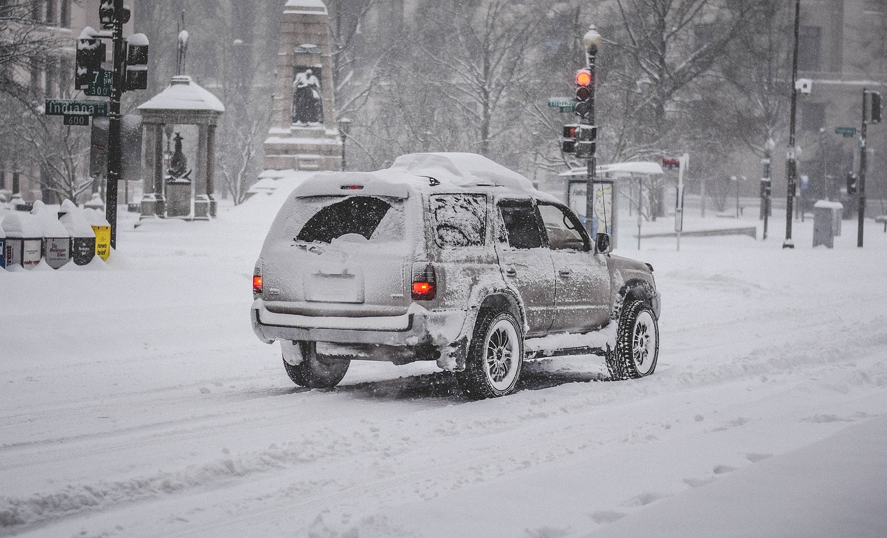
Winter storm warnings were in effect across the Northeastern United States over the weekend, as a powerful nor’easter brought heavy snow, strong winds, and coastal flooding to the region. The storm dumped up to three feet of snow in some areas, making it one of the biggest snowstorms on record for the region.
Table of Contents
ToggleSnowfall totals and impacts
According to the National Weather Service, the heaviest snowfall occurred in parts of Massachusetts, Rhode Island, Connecticut, New Hampshire, and Maine. Some of the highest snowfall totals included:
- Boston, Massachusetts: 36.1 inches
- Providence, Rhode Island: 30.7 inches
- Hartford, Connecticut: 24.9 inches
- Portland, Maine: 23.2 inches
The snowfall caused significant travel disruptions, with many flights and trains canceled or delayed, and road conditions treacherous. Schools, businesses, and government offices were also closed, and residents were urged to stay indoors and off the roads unless absolutely necessary.
Coastal areas were also hit hard by the storm, as strong winds and high tides caused flooding and beach erosion. In some areas, coastal flooding was worse than during Hurricane Sandy in 2012.
Storm origins and characteristics
The nor’easter developed as a result of a clash between warm, moist air from the South and cold, dry air from the North. This created a powerful low-pressure system that moved up the East Coast and intensified over the ocean.
The storm was notable for its slow-moving nature, which allowed it to dump heavy snow over a prolonged period of time. It was also accompanied by strong winds, with gusts up to 60 miles per hour in some areas. The combination of heavy snow and strong winds created blizzard conditions, with near-zero visibility at times.
Climate change and extreme weather
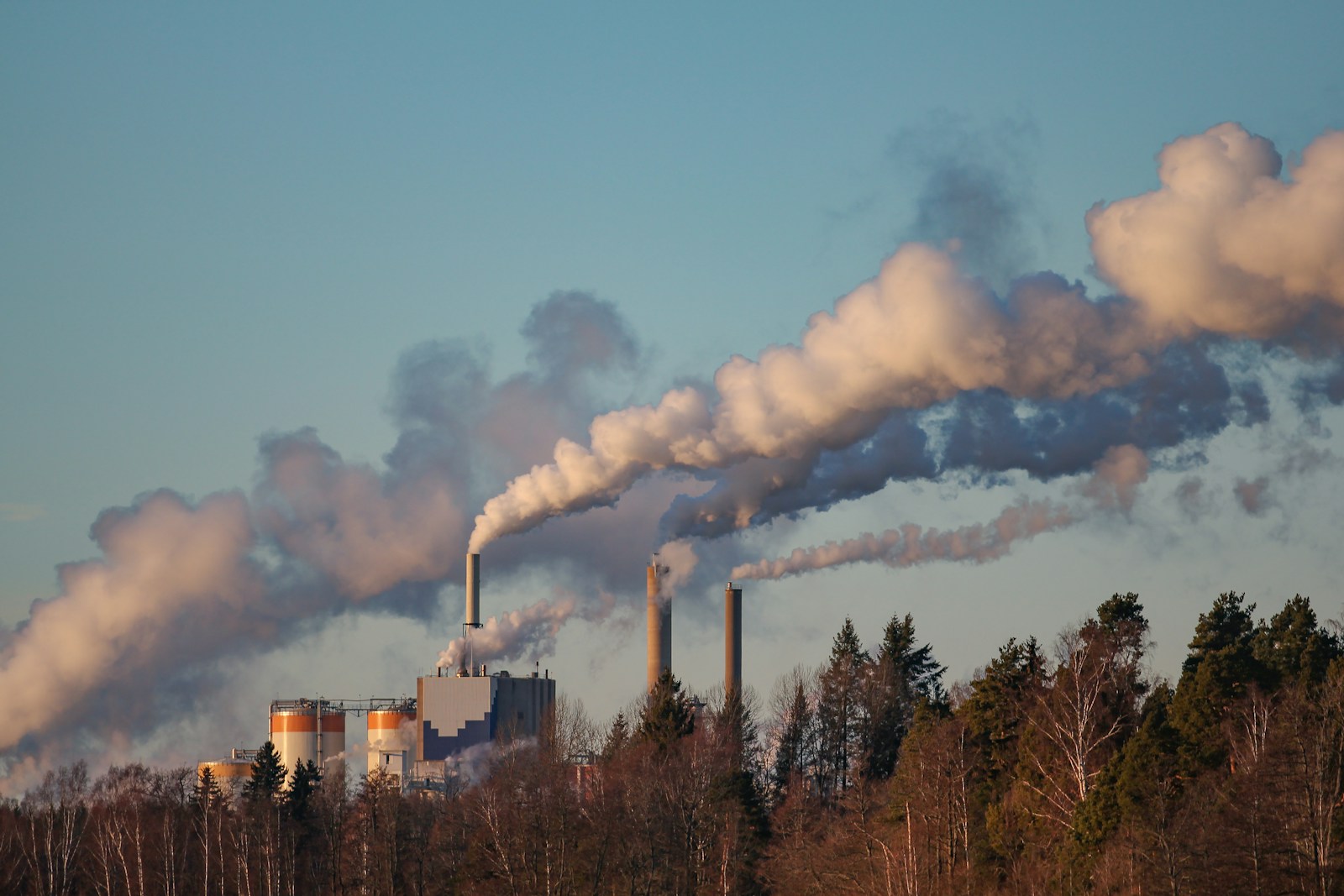
While it is not possible to attribute any individual storm to climate change, scientists have warned that warming temperatures are likely to lead to more frequent and intense extreme weather events in the future. In particular, the warming of the Arctic is believed to be altering the jet stream and causing more “blocking” patterns that can lead to persistent weather patterns like the one that produced the recent snowstorm.
In order to mitigate the impacts of extreme weather, experts recommend a range of measures, including reducing greenhouse gas emissions, improving infrastructure resilience, and strengthening emergency preparedness and response systems.
Conclusion
The recent snowstorm was a significant event that disrupted travel, business, and daily life in the Northeastern United States. While extreme weather is always a risk in this region, experts warn that climate change is likely to make such events more frequent and intense in the future. By taking action to reduce greenhouse gas emissions and improve our preparedness and response systems, we can help to minimize the impacts of extreme weather and protect our communities.


