NASA’s TEMPO Mission Reveals North America’s Hidden Air Pollution Patterns
For decades, scientists studying air pollution relied on satellites that passed over a region only once per day. That limitation made it difficult to understand how pollution actually behaves — hour by hour — across cities, highways, industrial corridors, and agricultural regions.
Now, NASA’s TEMPO mission is changing that picture dramatically.
Launched in 2023 and positioned in geostationary orbit over North America, the Tropospheric Emissions: Monitoring of Pollution (TEMPO) instrument provides hourly measurements of key air pollutants across the continent.
The result is a new, detailed view of how pollution forms, moves, and intensifies — offering insights that could reshape environmental policy, urban planning, and public health strategies.
Table of Contents
What Is NASA’s TEMPO Mission?
TEMPO (Tropospheric Emissions: Monitoring of Pollution) is a space-based spectrometer designed to monitor air quality across North America in near real time.
Unlike traditional Earth-observing satellites that circle the planet, TEMPO sits in geostationary orbit, remaining fixed over the same region.
This allows the instrument to scan the continent once every hour during daylight, tracking pollutants including:
- Nitrogen dioxide (NO₂)
- Ozone (O₃)
- Formaldehyde
- Sulfur dioxide (SO₂)
- Aerosols and particulate pollution
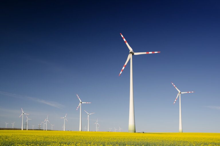
These chemicals are central drivers of smog, respiratory disease, and atmospheric chemistry linked to climate change.
The mission is part of NASA’s Earth System Observatory, designed to improve monitoring of environmental systems affecting human health and climate.
Why Previous Satellites Couldn’t See Pollution Clearly
Before TEMPO, most air-quality satellites were in low Earth orbit.
They passed over the same location once daily at roughly the same time, often during late morning or early afternoon.
That meant scientists were essentially looking at a single snapshot of pollution each day.
But pollution behaves more like a dynamic system than a static condition.
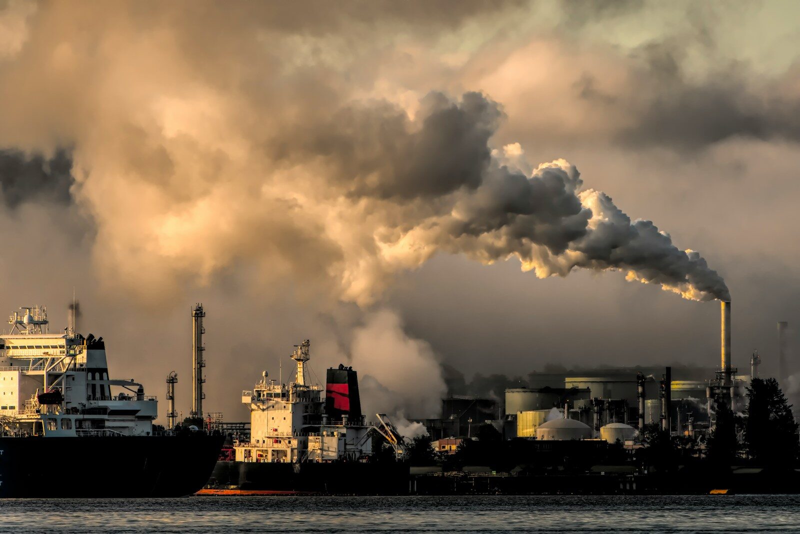
Levels can change dramatically due to:
- Rush-hour traffic emissions
- Industrial activity cycles
- Solar radiation triggering ozone formation
- Wind transporting pollutants across regions
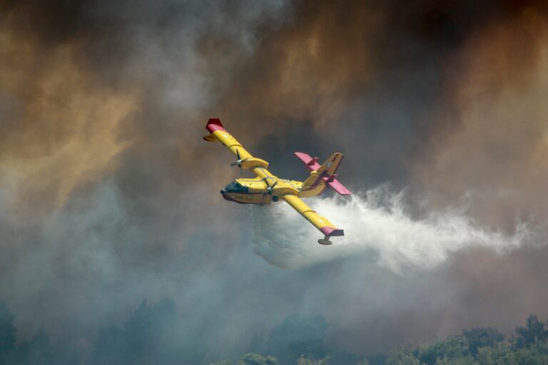
- Wildfire smoke plumes moving across states
Without hourly monitoring, many of these patterns remained hidden.
TEMPO now provides a full daily timeline of atmospheric chemistry.
What TEMPO Is Already Revealing
Early observations from the mission are already showing distinct pollution rhythms across North America.
Scientists can now track how pollution evolves across the day in ways that were previously impossible.
1. Rush Hour Pollution Surges
Urban areas show clear spikes in nitrogen dioxide during morning and evening commuting hours.
Major highways and metropolitan areas appear as temporary “emissions corridors,” which dissipate or shift depending on weather conditions.
2. Afternoon Ozone Formation
Ozone pollution often peaks in the mid- to late-afternoon, when sunlight drives chemical reactions between nitrogen oxides and volatile organic compounds.
TEMPO allows scientists to observe this chemical process unfolding in real time.
3. Pollution Transport Between Regions
Air pollution does not respect state or national borders.
Hourly mapping shows pollutants drifting hundreds of miles, carried by atmospheric circulation.
For example:
- Emissions from the Midwest can influence air quality in the Northeast.
- Wildfire smoke from Canada can move deep into U.S. cities.
This reinforces the idea that air pollution is a regional system, not just a local problem.
A New Tool for Public Health
Air pollution contributes to a wide range of health risks, including:
- Asthma attacks
- Cardiovascular disease
- Lung inflammation
- Premature mortality
According to public health researchers, millions of Americans live in areas where ozone and particulate pollution periodically exceed safe levels.
TEMPO’s hourly monitoring can help improve:
- Air quality forecasts
- Pollution alerts for vulnerable populations
- Exposure assessments for epidemiological studies
In the future, this data could allow same-day public health warnings when pollution spikes occur.
Climate Change Is Complicating Air Pollution
Climate change is expected to influence air pollution patterns in multiple ways.
Higher temperatures accelerate chemical reactions that produce ozone.
Meanwhile:
- Wildfires are becoming more frequent
- Drought conditions increase dust and particulate matter
- Heat waves amplify smog formation
TEMPO’s observations may help scientists understand how climate-driven changes are reshaping atmospheric chemistry.
The instrument effectively acts as a continental-scale laboratory for studying pollution–climate interactions.
How TEMPO Fits Into a Global Air Quality Monitoring Network
TEMPO is part of a broader international effort to observe pollution from space.
Other regional missions include:
- Europe’s Sentinel-4 satellite
- South Korea’s GEMS (Geostationary Environment Monitoring Spectrometer)
Together, these missions form a global geostationary air-quality monitoring system that tracks pollution across the Northern Hemisphere.
This coordinated approach allows scientists to study how emissions from one region influence another — a key issue in global environmental policy.
What This Means for Environmental Policy
Better data often leads to better policy decisions.
Hourly pollution maps can help policymakers:
- Identify major emission sources
- Evaluate the effectiveness of air quality regulations
- Monitor industrial pollution events
- Understand cross-border pollution flows
Urban planners may also use the data to rethink:
- Transportation systems
- Traffic management
- Industrial zoning
In other words, TEMPO provides the scientific visibility needed to manage complex air-quality systems.
A New Era of Atmospheric Observation
For scientists studying Earth’s atmosphere, TEMPO represents a shift similar to moving from still photography to time-lapse video.
Instead of a single daily observation, researchers can now watch pollution evolve throughout the day across an entire continent.
This richer perspective may help answer longstanding questions about:
- urban emissions
- wildfire smoke transport
- climate-pollution interactions
- regional smog formation
In doing so, the mission offers a clearer understanding of how human activity and natural processes interact in the atmosphere we depend on every day.
FAQs
What does NASA’s TEMPO mission measure?
TEMPO measures atmospheric pollutants such as nitrogen dioxide, ozone, sulfur dioxide, and formaldehyde across North America using hourly satellite observations.
Why is TEMPO different from previous satellites?
Most earlier satellites observed the same area once per day. TEMPO scans North America hourly from geostationary orbit, revealing daily pollution cycles.
How does TEMPO help public health?
The mission improves air quality monitoring, helping scientists and agencies identify pollution spikes and potentially issue faster health warnings.
Does TEMPO monitor climate change?
TEMPO focuses on air pollution, but its data helps researchers understand how climate change influences atmospheric chemistry and smog formation.