2026 Hurricane Season Forecast: 5 Shocking Structural Changes
Published on March 25, 2026 by Dr. A. M.
As global climate systems undergo rapid thermodynamic transformations, meteorological organizations must aggressively adapt their predictive frameworks. For coastal and inland communities, the 2026 hurricane season forecast represents a pivotal, systemic shift in how we understand and prepare for extreme weather events. The National Oceanic and Atmospheric Administration (NOAA) has recently unveiled a suite of product improvements that fundamentally alter the communication of storm-related hazards.
These updates are not merely aesthetic adjustments to weather maps. They are necessary evolutionary steps driven by shifting climatic baselines and the increasing frequency of rapid-intensification events. Understanding these changes is critical for urban planners, agricultural economists, and coastal residents alike.
Table of Contents
- The Evolution of the 2026 Hurricane Season Forecast
- Understanding the New Elliptical Track Cone
- Bridging the Gap: Systemic Climate Patterns and Ocean Thermodynamics
- Hawaii’s New Storm Surge Alerts
- Ecological Economics: The Cost of Extreme Weather Forecasting
- Data Comparison: Traditional vs. 2026 Forecasting Models
- Preparing Agricultural Systems for Inland Wind Hazards
- Conclusion and Future Trajectories
The Evolution of the 2026 Hurricane Season Forecast
The traditional approach to forecasting tropical cyclones has historically focused on coastal impact zones, often neglecting the sustained danger these systems pose as they move inland. However, the operational parameters defining the 2026 hurricane season forecast are drastically expanding. The National Hurricane Center is implementing comprehensive adjustments to its primary public-facing graphics.
For the first time, the operational hurricane track cone map will fully incorporate inland tropical storm and hurricane watches and warnings. This integration follows a highly successful experimental phase conducted in previous years. It was determined that isolated coastal warnings were insufficient for public safety, given the extensive inland penetration of modern storm systems.
By unified shading across the entire five-day outlook cone, the visual communication of threat levels becomes significantly clearer. The revised legend will now explicitly depict areas where combined hazards exist, utilizing diagonal pink and blue lines to indicate overlapping watches and warnings. This ensures that populations far removed from the initial landfall site remain appropriately vigilant.
Understanding the New Elliptical Track Cone
Perhaps the most scientifically profound alteration to the 2026 hurricane season forecast is the introduction of the experimental elliptical track cone. Since its inception in 2002, the traditional cone of uncertainty relied on a series of circles to project a storm’s probable path based on historical error rates. While effective for decades, this circular model failed to accurately convey the nuanced variances in a storm’s forward speed versus its directional deviation.
Beginning in 2026, the experimental cone will utilize ellipses anchored at each forecast point. This geometric shift allows forecasters to capture a much broader, more accurate range of possibilities regarding both the velocity and trajectory of a tropical cyclone. By transitioning from circles to ellipses, meteorologists can visually decouple directional errors from speed errors.
Furthermore, this experimental cone will encapsulate 90% of forecast track possibilities. This is a substantial increase from the traditional 67% forecast error margin used in previous iterations. While technical issues may occasionally affect the availability of this experimental graphic, its implementation marks a massive leap forward in communicating statistical probability to the general public.
Bridging the Gap: Systemic Climate Patterns and Ocean Thermodynamics
To fully grasp why these forecasting upgrades are necessary, we must look beyond the immediate meteorology and examine the broader systemic climate patterns at play. The intensification of storms tracked in the 2026 hurricane season forecast is directly linked to the escalating thermal capacity of the world’s oceans. As global average temperatures rise, marine environments absorb a vast majority of this excess heat.
This increased oceanic heat content acts as high-octane fuel for tropical cyclones. It raises the thermodynamic speed limit of storms, facilitating rapid intensification events where wind speeds increase exponentially just hours before landfall. You can read more about how shifting global currents impact seasonal weather in our comprehensive El Nino 2026 Outlook.
When sea surface temperatures deviate drastically from historical averages, traditional forecasting models based on past decades of data begin to lose their predictive edge. The Intergovernmental Panel on Climate Change has extensively documented these atmospheric shifts, noting that extreme weather events will become more frequent and severe. NOAA’s shift to a 90% error margin ellipse is a direct statistical response to this heightened atmospheric volatility.
Hawaii’s New Storm Surge Alerts
While the continental United States often dominates hurricane discourse, the Pacific basin faces unique and escalating threats. A critical component of the 2026 hurricane season forecast is the expansion of specialized products for the Hawaiian Islands. Historically, precise storm surge mapping was largely concentrated on the U.S. East Coast and the Gulf of Mexico.
NOAA is now rolling out dedicated storm surge watches, warnings, and peak storm surge graphics for Hawaii. These tools will deliver highly accurate, probability-based forecasts of water levels within 72 hours of expected hurricane impacts. This is a monumental upgrade for island communities where topography and bathymetry interact to create highly localized, devastating flooding scenarios.
The models generating these Hawaiian storm surge alerts will incorporate a complex array of forecast inputs. These include the precise storm track, maximum wind intensity, and the expanding radii of the storm’s wind field. By making these advanced metrics publicly available for the main Hawaiian Islands, local emergency management can execute highly targeted evacuation protocols, saving both lives and critical infrastructure.
Data Comparison: Traditional vs. 2026 Forecasting Models
To clearly illustrate the paradigm shift occurring in meteorology, it is helpful to contrast the legacy systems with the new protocols. The following table breaks down the fundamental differences driving the latest predictive methodologies.
| Feature / Metric | Traditional Track Cone (Pre-2026) | New 2026 Experimental Track Cone |
| Shape of Forecast Points | Circles | Ellipses |
| Error Margin Captured | 67% of historical forecast errors | 90% of forecast track possibilities |
| Inland Hazard Display | Often disjointed from main coastal cone | Fully incorporated watches/warnings |
| Error Decoupling | Speed and direction combined | Speed and direction errors separated |
| Hawaii Surge Products | Limited to general text advisories | Probability-based peak surge graphics |
This table clearly demonstrates how the 2026 hurricane season forecast prioritizes higher statistical inclusion and visual clarity. By capturing 90% of possibilities, the new model intentionally trades a narrow, potentially misleading trajectory for a scientifically rigorous representation of climatic uncertainty.
Ecological Economics: The Cost of Extreme Weather Forecasting
The updates to the 2026 hurricane season forecast carry profound implications for the field of ecological economics. When extreme weather tracking is inaccurate, the financial and environmental tolls are catastrophic. Misjudging the inland penetration of a tropical cyclone leads to delayed supply chain shutdowns, massive inventory losses, and inadequate mobilization of disaster relief funds.
By providing a more accurate, inclusive visualization of inland hazards, NOAA is essentially offering a more precise risk-assessment tool for insurance markets and regional economies. When businesses and municipalities can rely on a 90% confidence interval, they can optimize their resource allocation. This prevents the costly over-preparation of unaffected zones while ensuring maximum readiness in true impact vectors.
Furthermore, understanding the expanding radius of these storms is crucial for long-term urban planning. As we outline in our analysis on Climate Resilient Infrastructure Planning, building codes and zoning laws must evolve in tandem with meteorological data. The new elliptical cones will provide city planners with the exact statistical justification needed to mandate stricter building standards further inland.
Preparing Agricultural Systems for Inland Wind Hazards
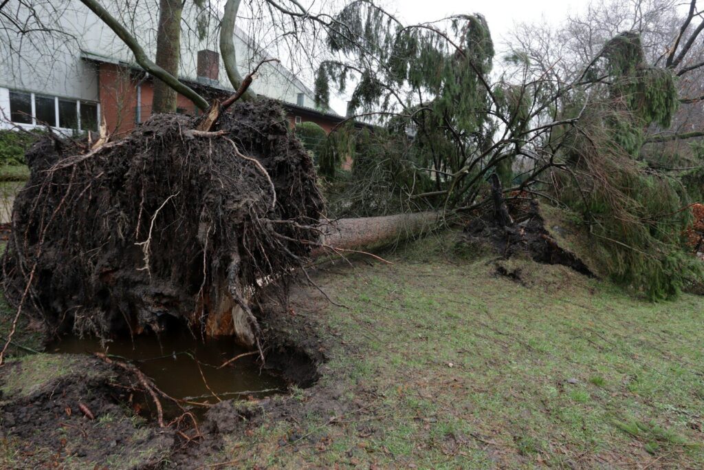
Agriculture represents one of the most vulnerable sectors to systemic climate volatility. The integration of inland warnings into the 2026 hurricane season forecast provides a critical buffer for agricultural systems. When a tropical cyclone moves over land, it brings not only high winds but torrential rainfall that can decimate crop yields and strip vital topsoil.
- Soil Salinization: Storm surges push saltwater far inland, severely degrading soil quality and rendering land infertile for subsequent planting seasons.
- Infrastructure Collapse: High-velocity winds destroy localized agricultural infrastructure, including silos, irrigation networks, and greenhouse complexes.
- Livestock Threats: Rapid, unexpected inland flooding traps livestock, causing massive economic and ethical crises for regional farming communities.
With the new forecast cone explicitly highlighting overlapping inland watches and warnings, agricultural economists and farm managers have actionable data. They can preemptively harvest mature crops, secure loose equipment, and relocate livestock to higher elevations. This early-warning capacity bridges the gap between raw meteorological data and on-the-ground food security.
Conclusion and Future Trajectories
The enhancements defining the 2026 hurricane season forecast represent a necessary adaptation to an increasingly volatile global climate system. By transitioning to elliptical probability models, expanding inland hazard communication, and introducing Hawaiian storm surge alerts, NOAA is drastically improving public safety frameworks. These changes acknowledge that modern tropical cyclones are not just coastal events, but massive systemic disruptions.
As oceanic temperatures continue to influence atmospheric thermodynamics, we must rely on these advanced, data-driven tools to protect our communities, our economies, and our agricultural lifelines. The shift from a 67% to a 90% confidence interval is a stark reminder of the widening uncertainty inherent in our changing climate.
Understanding these forecasting mechanisms is the first step toward true systemic resilience. Will you be updating your community’s emergency response plans to reflect these new elliptical forecasting models?